
Andrew Ellicott was born in 1754 in Bucks County into a Quaker family of mill builders and clockmakers. He became one of the leading surveyors and astronomers of the early United States.
Mapping the capital
In 1791 President George Washington asked Ellicott to survey the boundaries of the new federal district on the Potomac. Working with Benjamin Banneker, he laid out the 10-mile square. After Pierre L’Enfant was dismissed, Ellicott revised and completed the plan for the city of Washington.
He also surveyed state boundaries and the line between the United States and Spanish Florida.
Lancaster years
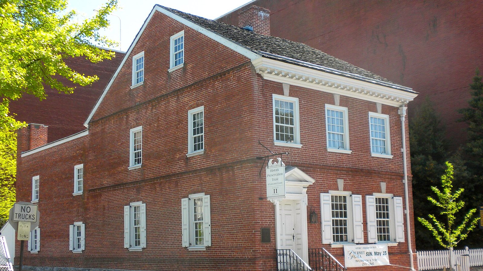
When Lancaster was Pennsylvania’s capital, from 1799 to 1812, Ellicott moved there to serve as secretary of the state land office. He lived in a house on North Prince Street.
In 1803 Meriwether Lewis came to Lancaster to study with him before setting out with William Clark. Ellicott taught Lewis how to use instruments to fix latitude and longitude by the stars, skills Lewis used to map the West.
Later life
Ellicott later taught mathematics at West Point, where he died in 1820.
His Lancaster house, at 123 North Prince St., is on the National Register of Historic Places, and a marker notes his work with Lewis.